
Following a Norwalk Street Address
A useful Norwalk street directory workflow is a chain of keys. The street address supplies the first clue. The Assessor Portal turns that clue into an AIN and parcel detail. An in-person or Property Data Sales request supplies the owner name when a title question calls for it. The RR/CC index then uses that name and a recording year. A directory or census volume can add a dated household clue after the land trail is understood.
Walk the chain in order. Keep the street number, direction, street type, unit, cross streets, and any tract or lot note. A small spelling change can send a search to another parcel. The process also avoids treating a map point, a tax mailing address, and a resident as the same thing.
- Enter the full address or AIN in the Los Angeles County Assessor Portal; use Map Search when the text entry fails.
- Record the AIN, situs, parcel type, units, build and effective years, values, and assessment description.
- Use the county's lawful offline owner channel, then take the owner name and likely purchase year to RR/CC.
- Search grantor and grantee indexes by name and year, and identify the deed before ordering a copy.
- Use the county voter procedure, city permit portal, or a reverse directory only for the narrower question each source can answer.
The street directory angle is strongest when the parcel key remains beside every result. It keeps similar names and neighboring lots from blending together.
Norwalk Street Search Fields
The Assessor Portal is the main online address tool for a Norwalk street directory. It accepts an AIN or address and has a map mode. The public interface does not offer an owner-name field. That asymmetry is central: the web can expose parcel structure and location, but the owner name must come through a different county channel.
| Search by AIN or Address | Text field; one mode is required. Use the full street number, direction, name, type, and unit when known. |
|---|---|
| Map Search | Optional map browse; pan and click parcels to recover an AIN and adjacent geometry. |
| Public result | AIN, situs and use, tax area, exemptions, structures, units, beds, baths, square footage, build and effective years, values, and map links. |
| Owner-name field | Not available on the public website. Owner data is available in person or through Property Data Sales. |
The sample Assessor parcel detail image below is a visual cue for the fields that matter before a street search moves to the recorder.
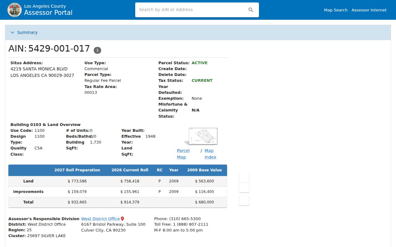
Parcel detail can include an assessment legal description and recent parcel-change activity. “Indicated sales price” may be inferred from documentary transfer tax. Neither field identifies a household, and the Assessor warns that an assessment boundary description is not the deed's legal description.
The Assessor mapping help image below shows the public mapping layer used to recover an AIN when an address search needs a visual check.
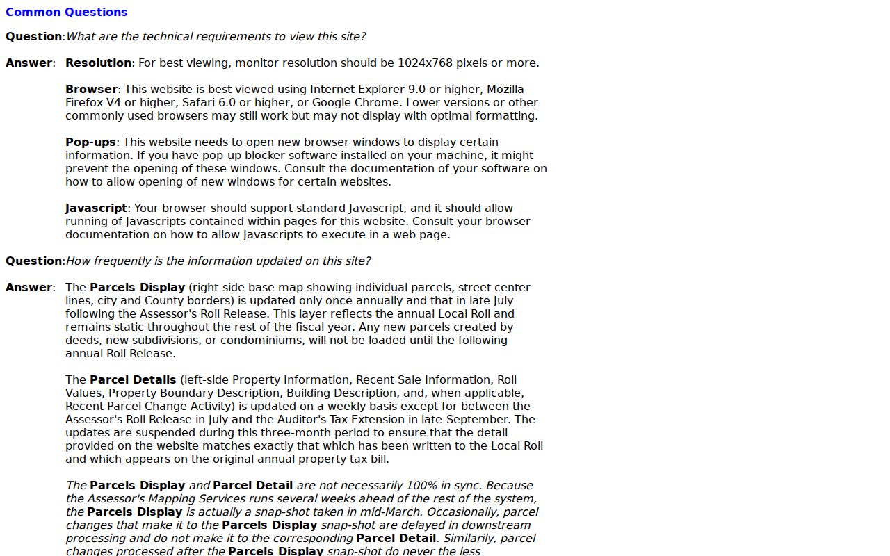
Map guidance supports parcel identification, but it does not turn the public map into an owner-name search.
Norwalk Situs and Mailing Addresses
Situs and mailing address are not synonyms in a Norwalk street directory. Situs is the physical parcel location used by the assessment record. Mailing address routes tax correspondence. If they differ, the record may reflect an owner who receives mail elsewhere, a trust or entity contact, or a preferred mailing route. It does not identify a person who lives at the parcel.
Write both fields down and label them. The distinction helps when an older directory, deed, or probate file uses a different place name. It also keeps a tax record from being read as a resident list. Non-owner household members, delivery recipients, utilities, DMV records, and protected voter data are not supplied by the public parcel result.
- Parcel
- A mapped unit of land identified by an AIN and assessment data.
- Situs address
- The physical location assigned to the parcel for assessment and map purposes.
- Mailing address
- The route used for tax notices; it may be different from the situs.
- Plat
- A recorded map or subdivision reference that helps connect lots and tracts across time.
The LA County GIS-NET Public site offers identify, layer, buffer, measure, report, and export tools, but the research notes that it is primarily for unincorporated territory. Incorporated Norwalk parcels should be checked in the Assessor map first.
Norwalk Records Along a Street
A street directory becomes useful when each address-keyed record set is given a clear role. The county property roll can anchor a parcel. The GIS map can show adjacent geometry. The deed index can show title parties after an address has been converted to a name and year. Norwalk's permit portal can show work history by address. Voter street indexes exist only through restricted channels and are not an open street browse.
| Record Set | Keeper | Street Evidence | Access Route |
|---|---|---|---|
| Parcel detail and ownership roll | LA County Assessor | AIN, situs, use, values, owner and tax-mailing address through offline channels | Free web parcel search; in-person owner channel |
| Parcel map | LA County Assessor | Lot shapes, nearby AINs, map context, recorded-map links | Map Search |
| Deeds and liens | LA County RR/CC | Grantors, grantees, transfers, liens, legal descriptions | In-person name/year index, then copy request |
| Permits and property information | Norwalk Community Development | Address, APN, contractor, permit or work-history clue | Online address, contractor, APN, or permit fields |
| Voter street index | LA County RR/CC Election Information | Purpose-limited registration and election geography | Mail, in person, or approved file order |
That table is a coverage map, not a promise that every source lists every resident. A parcel key connects the Assessor, permit, and deed paths. The street name helps with directories and voter procedures. The record's date and legal relationship determine what a match actually means.
Norwalk Parcel Map Neighbors
Map browsing is the most direct way to expand from one Norwalk address to the nearby parcels. Enter the address, open the map, pan along the block, and click each adjoining shape. Record the AIN and situs for every parcel before seeking any name. The map shows geometry and parcel context first, which is safer than starting with a broad list of people.
The county zoning map adds planning context, not residents. There is no verified public radius export in the research. For an immediate block, a hand-built AIN list is therefore more defensible than an assumed buffer result. Each AIN can be taken through the same lawful owner and deed channels used for the first parcel.
The LA County GIS-NET Public page image below shows the map-and-layer approach that supports a Norwalk street directory search.
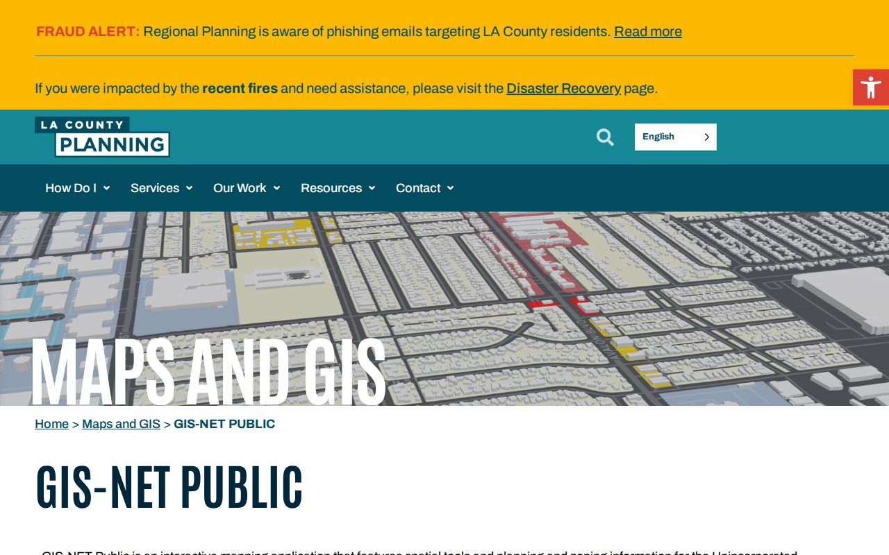
Geometry can be browsed online while ownership names remain offline. That split is a recurring Norwalk records pattern.
Norwalk Deeds by Name and Year
The recorder's alphabetical grantor and grantee indexes cover 1851 to the present, with some county descriptions saying records are maintained since 1850. The index is not searchable by street address or APN. A street directory user must first create a lawful name-and-year lead, usually from the Assessor owner channel, then inspect the index at the Norwalk RR/CC headquarters.
Indexes dated 1851-1957 are on the lower level, and 1958-present are on the second floor. Appointments are required for the public viewing rooms. Once a deed number or title is known, a mail, fax, or online copy request can be made. A mail request needs the document title, names, and recording year or range, and the estimated order time is about 20 working days.
The recorder property-records answers image below captures the name-and-year search rule that makes this step different from an ordinary address search.
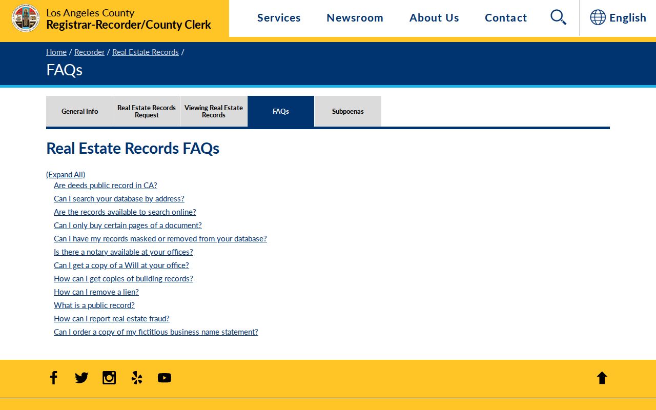
Search a current grantee, note the grantor, and then search that grantor as an earlier grantee. Tract, lot, and legal description guard against namesakes as the chain moves backward.
Norwalk Street Permit Records
Norwalk Community Development adds a separate address trail. Its property-information portal accepts an address, contractor name, APN number, or permit number. Address entry uses a number, direction, name, type, and unit, with examples such as 12345 Pioneer Blvd and 12268 160TH ST. The portal asks users to omit periods after street abbreviations. Contractor search can retrieve city work history, while APN and permit fields offer a different way in when the street label is unclear.
The portal links to Norwalk WEBMAP. The research did not verify result fields, coverage dates, limits, or exports, so a permit match should be treated as a work-history clue. Citizen Access shows account fields, request-inspection tools, and registration controls. It is not a public resident directory and should not be read as one.
The Norwalk permit and property portal image below illustrates the address-keyed channel that can sit beside parcel and deed records.
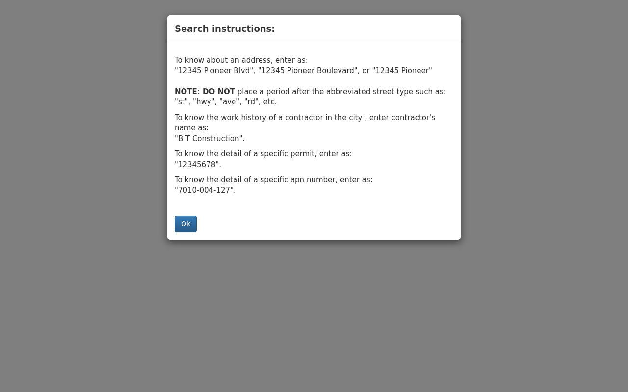
Note: The research did not verify Norwalk permit result fields or a public code-case index, so a portal hit should not be expanded beyond the field it actually supplies.
The Los Angeles County Treasurer and Tax Collector site is a separate AIN-keyed route for secured-tax payment and delinquency status.
Tax status can add parcel context, but it does not name a household or replace a deed record.
Norwalk History in Reverse Directories
A modern street directory and a historical reverse directory answer different questions. A reverse or criss-cross volume starts with a street address and may name a past household or business. Norwalk's research confirms directory editions for 1953, 1960, and 1975-76, but it does not verify a complete reverse-directory run or exact publisher years. The library's closed-stack Californiana staff can search regional titles that combine Norwalk with Artesia, Cerritos, Downey, or Bellflower.
Pair a dated address listing with the 1950 census, a deed, a permit, an obituary, or probate. A directory disappearance may mean a move, death, an unlisted household, or a missing volume. The Norwalk directory book collection is the right place for the shelf and reading-key details, while the address directory keeps the focus on the street pivot.
Norwalk Street Search Boundaries
A street search cannot show every person connected to a block. The public parcel result does not list non-owner household members. DMV addresses are restricted by the federal Driver's Privacy Protection Act and California law. Utility customers, delivery data, minors, and private organization rosters are not general public records. A voter street index is purpose-limited, not an anonymous household browse.
Lawful use. Norwalk address records can support family history, estate work, property curiosity, and civic research. Do not use a street directory to stalk, harass, intimidate, or make repeated unwanted contact. The California rules on stalking and civil harassment still apply when a record is public.
A commercial compilation may merge property, marketing, court, and other data, but it can lag corrections and join similar names. Treat it as a lead only, never as a way around a custodian's access rule. The official parcel and deed chain remains the better route for a Norwalk address question.
Norwalk Address Labels Over Time
Old Norwalk addresses do not always retain the same written form. A street may be shortened, a direction may be omitted, a house number may be described through a tract, or the mailing city may differ from the municipal boundary. The stable clue is often the legal description, lot, tract, or AIN rather than the exact string in a directory.
Start with the modern parcel map, then compare the assessment description to the deed. If a historic directory or census entry uses a township label, search the regional locality rather than forcing it into a current city name. This is especially important before 1957, when Norwalk-area census material can appear under Downey Judicial Township. A street directory built on those cross-checks can connect addresses across years without pretending that the labels never changed.